GIS can be used to streamline urban planning
What is Urban Planning?
Urban planners are also known as city planners. They design cities and make plans for growth and improvements. These plans cover many of the things you will see as you move through urban environments, such as streets, parks, public space, and so on.
According to National Geographic, urban design is a key component of sustainable development. Dates back to the 19th Century When diseases were rampant in overcrowded, dirty cities. Planners concluded that better public health would be achieved if people were far from pollution, industrial centres and foul odours.
This was also when zoning ordinances were introduced. They separated urban areas into residential, commercial, and industrial zones.
Some people argue that even though there were health benefits, moving people farther from their jobs increased their dependence on cars, increasing traffic and pollution. Modern City planning software should consider bike lanes, pedestrian ability, and traffic flow.
Urban planners today are facing the opposite problem. While urban planners in the past were concerned about rapid population growth and sprawl, they now have to address both. Many cities aren’t growing. Many towns are experiencing population decline.
According to the 2010 U.S. Census, population growth had slowed In 14 of the 15 biggest urban centres. Planners must plan for vacant land that is created by the departure of people or businesses.
Urban planners try to plan for the unexpected future.
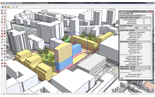
Technology has made it possible for urban planners to be more efficient. GIS (geographic information systems) are an indispensable tool for urban planners. They provide support for data creation, spatial analysis, modelling, and visualization.
GIS benefits in urban planning
GIS is increasingly being used in urban planning.
GIS was initially discouraged by the high cost of installation and maintenance. However, GIS has become more popular over the years.GIS hardware was less expensive software adoption has increased as it became easier to use.
GIS is a great tool for urban planning. Here are five of the most important.
1. Maps improved is a single repository that stores historical and current data as well as maps.Improve map currencywill increase the effectiveness of thematic mapping and reduce data storage costs.
2. Access to vital information is easier desktop GIS makes it easy to access, store, manage and access data from many sources.Cloud GISoffers the same benefits but allows access from any device.
3. Communication is improved. Internal parties can now access the information they need instantly using a unified data storage and management system. This is in contrast to searching through hard drives or documents for data or trying to track down data from different departments.
4. Public services are more efficient and of higher quality can create a public-facing portal (like this one).This oneallows for the free flow of information between government agencies and the public. Data can be shared quickly by government officials, and the public has self-serve access.
5. Support for strategic decision-making has been increased. Planners can create more informed strategies by having quicker access to more important information. They can also explore a wider variety of locations.‘ what-if’ scenarios Ideally. This will lead to more powerful and effective long-term strategies.
These are the benefits of GIS. Let’s take an in-depth look.
GIS Tools for Urban Planning
GIS platforms offer a wide range of capabilities that can be used for urban planning. The most popular GIS uses platforms are database management, visualization, spatial analytics, and spatial modelling. Let’s take a look at each.